Drone Roof Inspection for Hesperia Commercial Buildings, CA
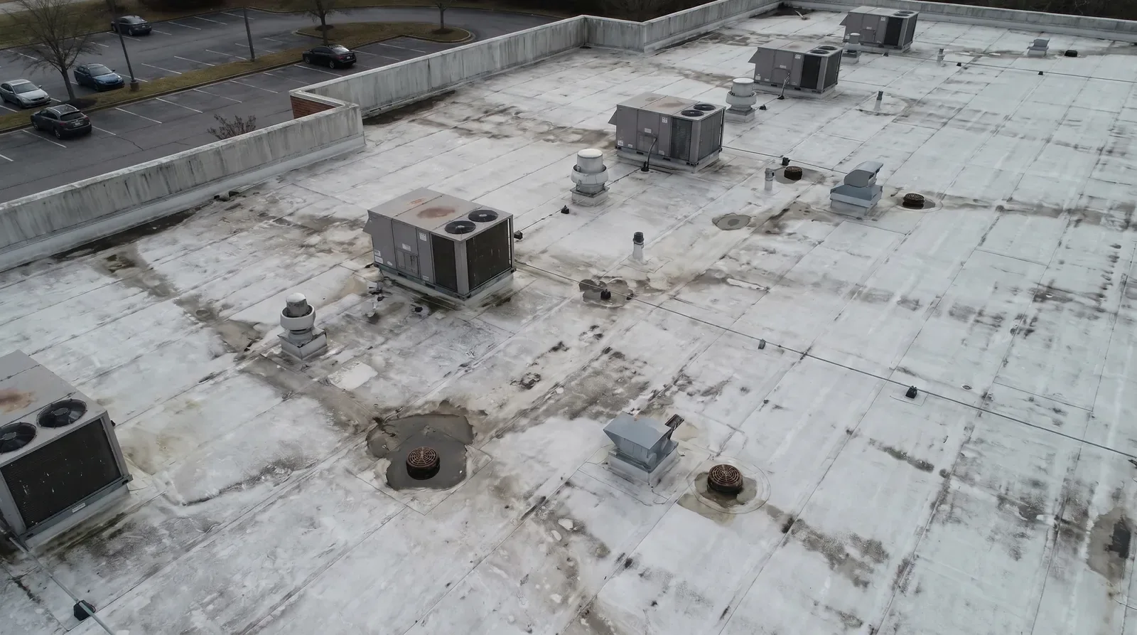
An aerial image can show a roof section that is difficult to see from the ground. It can help orient a roof map, locate equipment groups, and document visible surface conditions. It cannot tell whether insulation is wet, a seam is bonded, or a deck is sound. We use drone imagery as one observation in a defined inspection, not as a substitute for close review. Before capture, we confirm the property boundary, access rules, operating areas, and who can authorize the work. Hesperia’s warehouse proposals along I-15 and Highway 395 are aligned with designated truck routes. A clear roof map helps tie each repair question to the correct building zone and delivery route. The image set should be tied to roof zones and a question, such as whether a reported area is visible or whether drainage paths are obstructed. For hands-on findings, pair imagery with a commercial roof inspection.
Decide What the Image Must Show
Start with the decision. A facility team may need a current overhead view for asset records. A leak review may need orientation around a curb, edge, or drain. A replacement estimate may need visible roof geometry and a way to label sections. These requests call for different flight paths and image detail. We identify the roof areas in scope, the desired output, the property contact, and any parts of the site that must remain outside the capture. Every capture starts with a roof question, a defined area, and an agreed image record. For a roof near active loading, the operator should confirm an appropriate area and work window with the facility. Hesperia’s truck-route network includes Bear Valley Road, Phelan Road, and other designated roads. The property contact confirms the gate and loading route for the capture.
Capture With a Site Plan
Before launch, confirm the site address, the roof areas to document, the person responsible for access, and any nearby operations that could interfere with safe capture. Identify restricted roof zones and sensitive equipment from the owner’s instructions. The imagery plan should avoid unnecessary views of neighboring property and should follow site-specific requirements. Weather, wind, glare, shadows, and surface reflectivity can affect what a camera records. A 97.0°F normal August daily high is part of Hesperia 2 E's 1991-2020 climate record; the site must be checked before material work. Before capture, we check actual weather, surface glare, wind, and safe equipment handling. A camera angle that hides a curb or seam is not evidence that the detail is sound. When an image suggests a concern, mark its location and schedule the appropriate ground or roof-level check. A roof condition report can preserve those coordinates with Diligence Notes.
Separate Visible Signs From Diagnosis
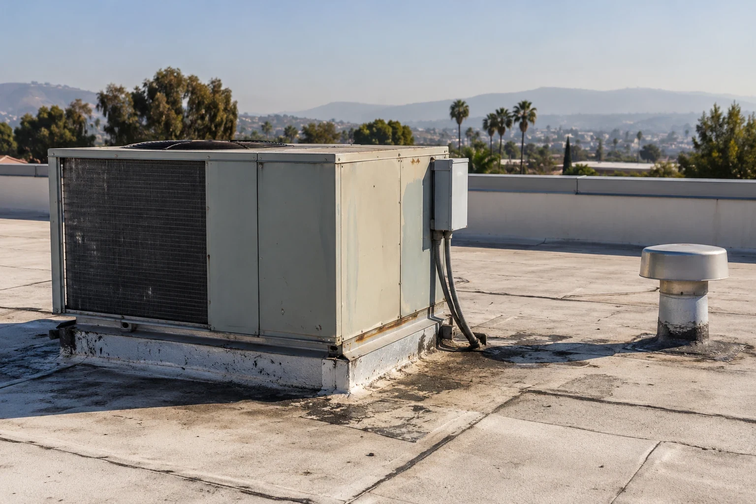
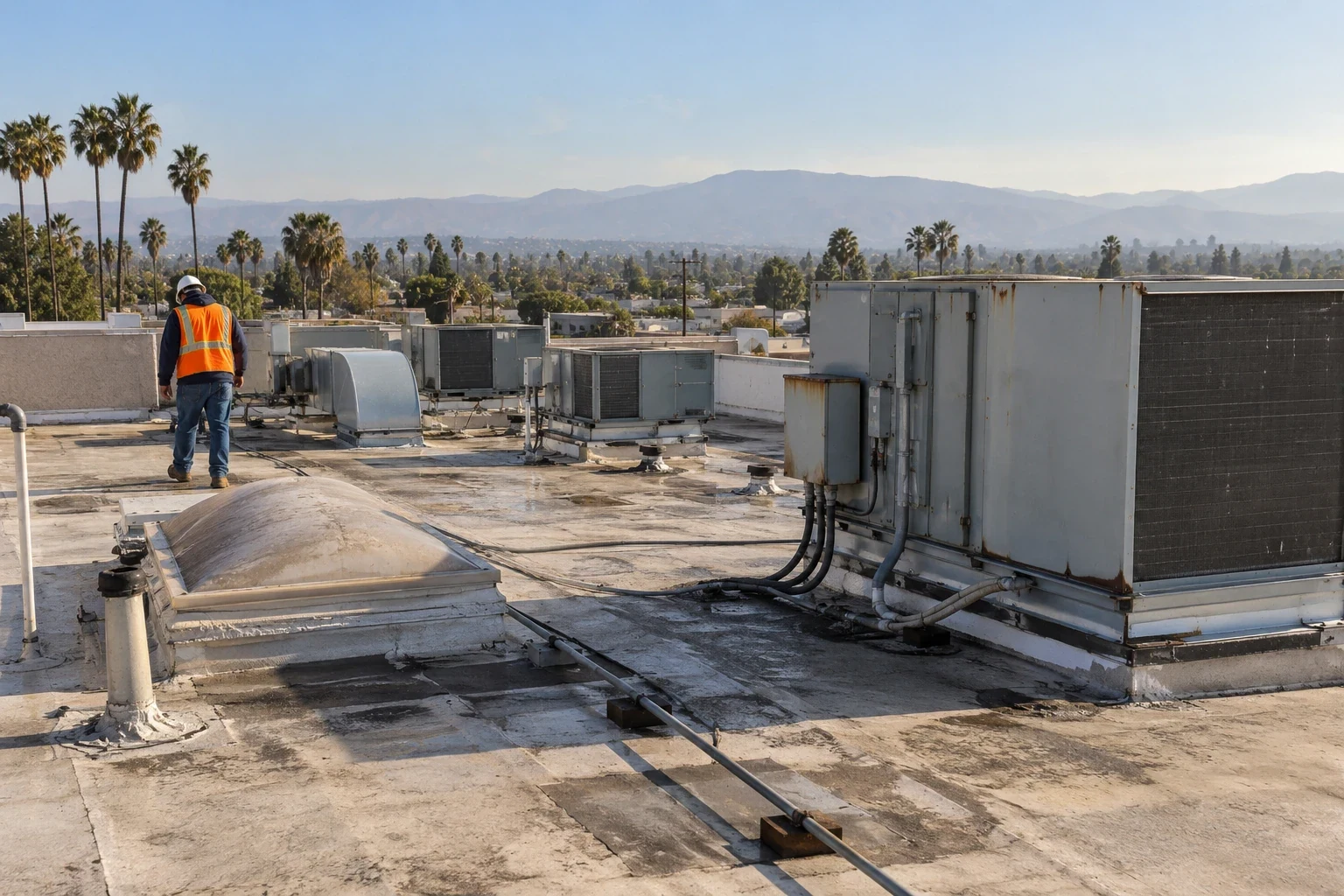
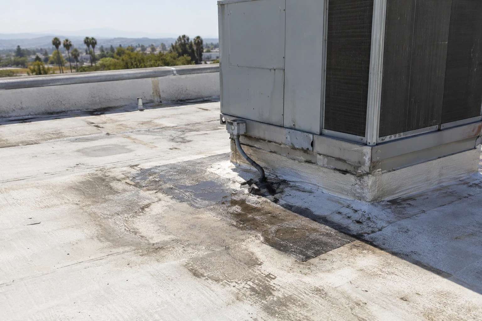
Images may show debris, standing water, open-looking laps, displaced edge components, surface wear, or a broad patch pattern. The next step is to decide which of those observations needs a close look. A dark roof area can reflect shade or moisture; a bright area can reflect material color rather than dryness. A seam that looks irregular from above may be a shadow or a repaired detail. We compare image position with the roof plan and then verify important concerns at safe close range. Do not infer attachment, adhesion, wet insulation, or remaining service life from a single frame. If water is reported inside, the ceiling mark and roof image are clues that must be connected through inspection. A leak-tracing review can test the likely path. If a broad moisture question remains, consider an infrared survey under conditions suitable for that method. Each technique has limits and should answer a defined question.
Map Hesperia Roof Areas Clearly
Aerial images are most useful when they answer a defined roof question: where a seam changes direction, whether an outlet is obstructed, or how a repair relates to the surrounding field. Hesperia's industrial corridors and warehouse development make consistent roof records useful for owners managing several assets, but each image set must stay tied to its own building and date. A Highway 395 and I-15 District roof review is a broad geographic reference, not a finding about a customer's property. We use imagery to direct a closer inspection; a camera cannot establish membrane adhesion, wet insulation, or concealed deck condition. The deliverable labels visible features and separates them from conclusions that require roof access or testing.
Deliver a Useful Image Record
A useful deliverable includes dated overview images, a roof plan or annotated sketch, capture limits, and an index that points to notable areas. Label the image by building and roof zone. Pair a concern with a short note describing what is visible and what needs a closer check. If the owner is evaluating an upcoming project, an aerial view can help discuss sequencing, but estimates still need field dimensions and assembly review. Hesperia's industrial activity does not substitute for site measurement or establish demand at a particular property. For a planned reroof, connect aerial orientation to a replacement scope only after verifying existing layers and details. If a property uses a thermoplastic membrane, the TPO system page explains assembly-specific considerations. The owner should receive image files in a format that can be stored with maintenance records, along with a concise list of areas that need physical inspection or no further action. Before accepting the record, verify that the building names and roof-zone references match the property plan. A photo should be easy to trace from a written note to the same roof section on a later visit. Keep original images and annotations distinct so a reviewer can tell what was captured and what was added for orientation. If the roof plan is outdated, flag the mismatch rather than drawing an assumed boundary. That small distinction prevents a future contractor from treating a sketch as a measured condition. The image record is one input to maintenance, repair, or capital planning, and should remain attached to the property's service history. Assign a staff member to preserve the file and link its zone labels to the current building plan. If a later roof change alters equipment or access, update the orientation sheet rather than relying on an old image. Record the capture date and conditions beside those limits.
For repeat flights, retain the same building outline, roof-zone names, and view direction when safe operating conditions allow. A comparable image set can help a property team locate a changed seam, new rooftop unit, or altered drainage path. The comparison still needs a field check; different light, camera angle, or image scale can make a surface appear changed when the roof itself is not. Record capture date, limitations, and any area omitted from view.
Commercial Roofing Questions
Can aerial roof images locate the opening that is allowing water inside?
It can help locate and document a visible area, but it cannot confirm the path through concealed layers. Interior reports, close roof observations, and targeted tests may be needed to connect the suspected entry to a defect.
Does aerial imagery replace a roof walk?
No. An image can orient a map and show visible surface conditions. It does not confirm seam strength, flashing adhesion, wet insulation, deck condition, or whether a detail is secure. We verify material findings at close range when access is safe.
What information should I provide before a Hesperia capture?
Send the property address, building labels, roof plans if available, areas to document, site contact, access rules, and any nearby operations or restricted zones. Those details define a useful flight path and keep the image record organized.
Can drone images measure a replacement roof?
Images can support orientation and rough planning, but a roof estimate should use field-verified dimensions and details. We confirm roof edges, penetrations, elevations, and tie-ins before relying on quantities for a scope.